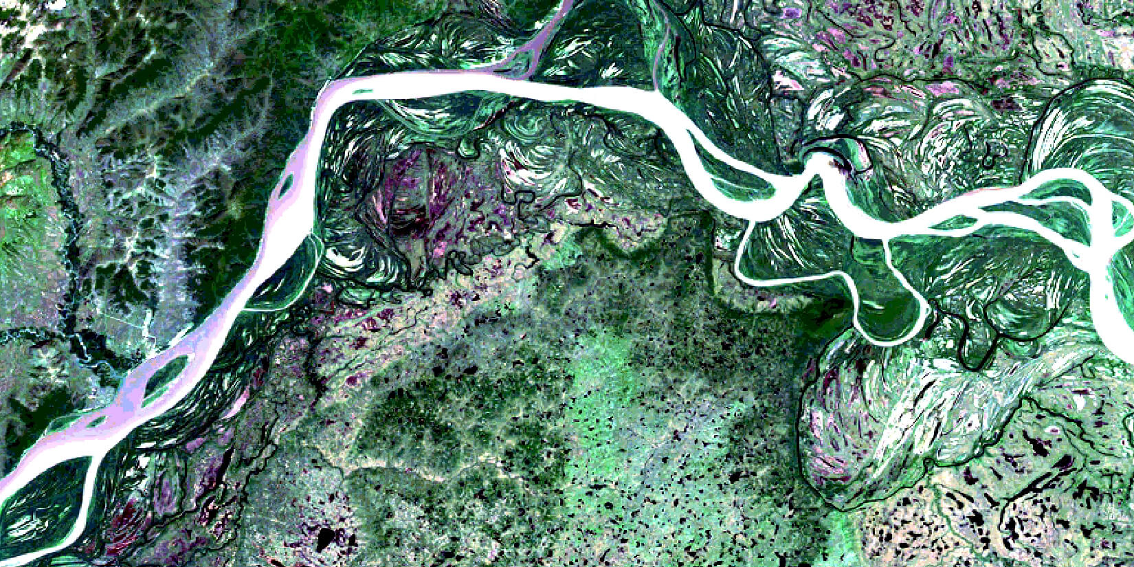
GLOBAL COVERAGE
Our Earth observation services cover any point on the planet in the shortest possible time.

PROMPT IMAGE DELIVERY
Valuing your time and business flexibility, we deliver the requested imagery within hours.
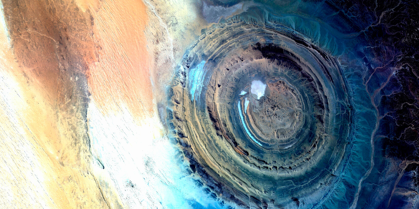
HIGH RESOLUTION
Our satellite imagery is characterised by impeccable resolution and superior quality.
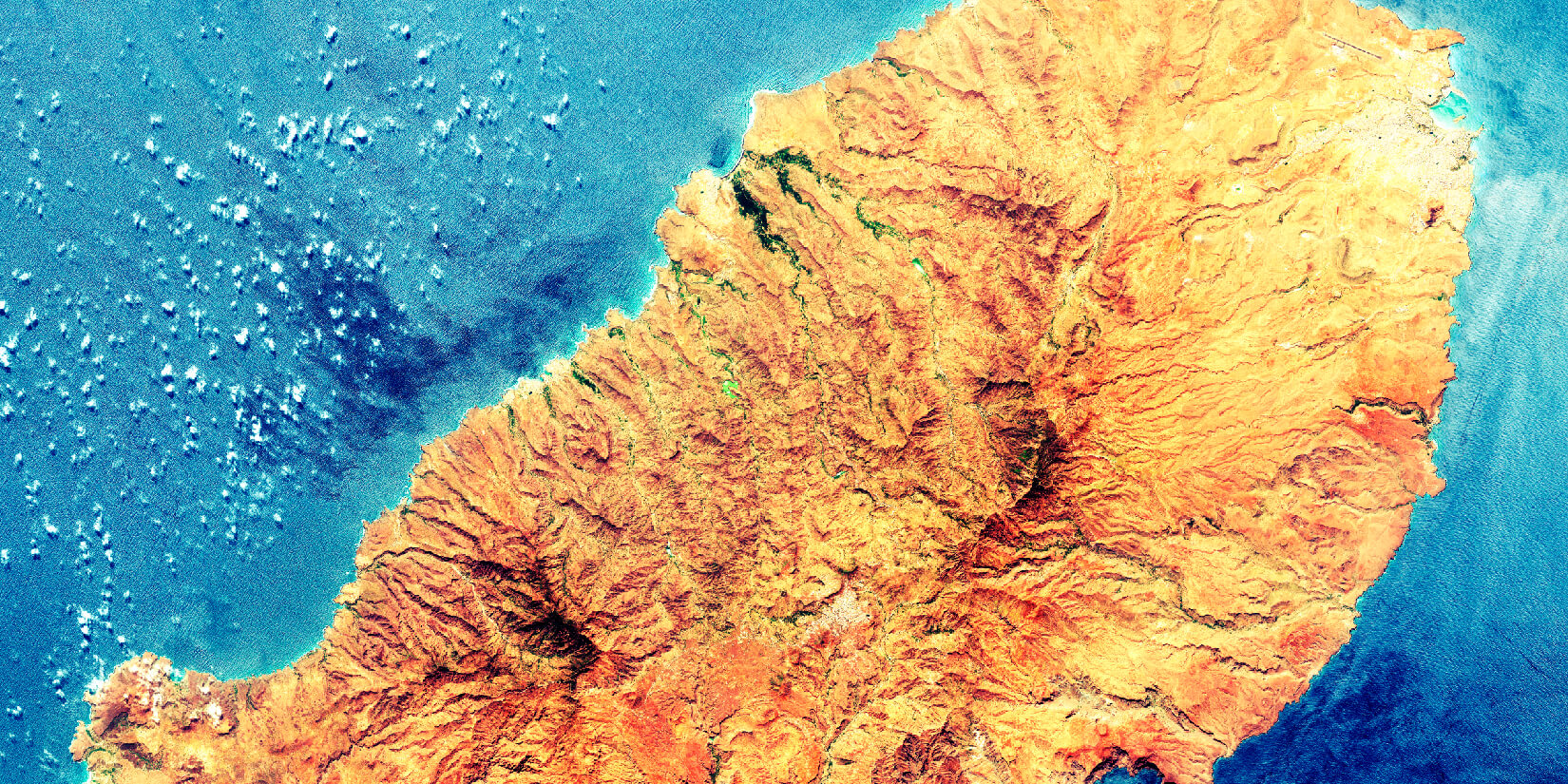
WORLDWIDE ARCHIVE
Our global archive of satellite imagery lets you source images of your area of interest from decades ago.
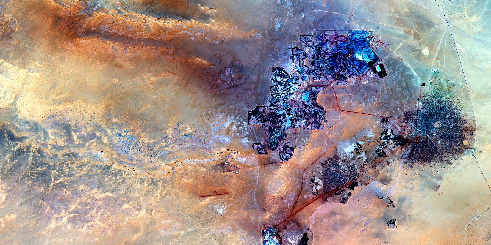
EFFICIENT CUSTOMER SUPPORT
Our experts are always ready to provide guidance and support regarding your requests.
